GROUND PENETRATING RADAR / JEORADAR GENEL BİLGİ:
Yeraltı Radarı veya genel adıyla Jeoradar (GPR: Ground Penetrating Radar) yöntemi, yakın yüzey araştırmalar için kullanılan yüksek frekanslı elektromanyetik prensip ile çalışan bir jeofizik yöntemdir.
Hedeflenen derinlikler için cihaza ilave antenler almak gerekir.
GPR / Yer Altı Radarları 25 Mhz ile 3000 Mhz aralığında yani çok yüksek frekanslarda çalışırlar.
Yerin yüksek çözünürlüklerde haritasının çıkarılabilmesi için cihazın yüksek frekanslarda çalışması gerekir.
Anten frekansı ne kadar yükselirse inceleme derinliği o oranda azalır.
Jeoradarın (Yer Radarı – GPR) Kullanıldığı Alanlar:
1. Arkeolojik Araştırmalarda
* Eski Medeniyetlere Ait Yapıların ve Eski Parçaların Yerlerinin Belirlenmesinde
* Arkeolojik Alan Çalışmalarında
2. Yeraltının Haritalanması
3. Köprü ve Tünel Araştırmalarında
4. Yol Araştırmalarında
5. Yapı Analizinde
6. Çevre Araştırmalarında
SATIŞ ŞARTLARI:
ÖDEME: Siparişte tamamı peşin olarak tahsil edilir.
TESLİM SÜRESİ: Siparişe müteakiben 4-6 hafta içerisinde teslim edilecektir.
GARANTİ SÜRESİ: Sevkiyat tarihinden itibaren 1 (bir) yıldır.
EĞİTİM: Ücretsizdir – Eğitim Jeofizik Mühendisleri Tarafından Arazi Ortamında Verilecektir.
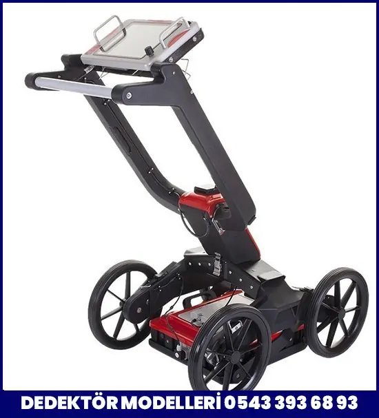
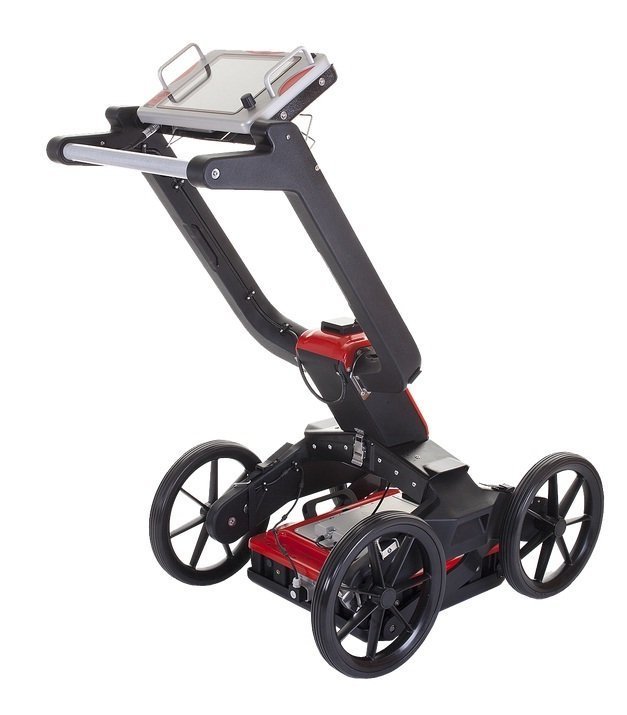
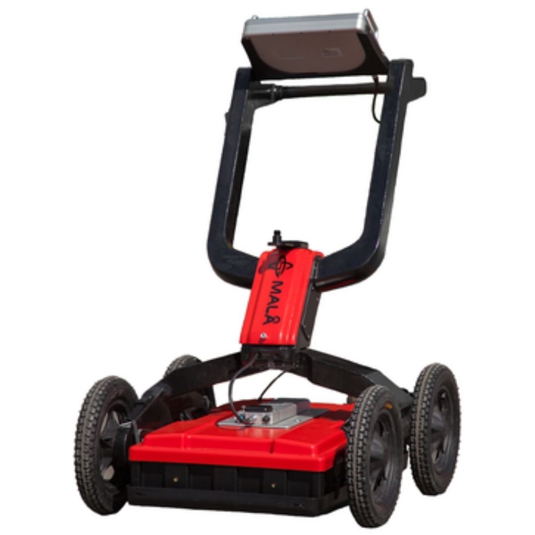
MALA EASY LOCATOR HDR PRO with PRO CART
The ground penetrating radar (GPR) system designed for utility locating professionals
Just as the first MALÅ Easy Locator revolutionized the utility locating industry to become the industry benchmark for GPR utility location, MALÅ Easy Locator HDR is a game changer.
The High Dynamic Range, or HDR, is the next generation in MALÅ GPR technology specifically optimized for utility location. MALÅ Easy Locator HDR is faster, easier to use, more accurate, higher resolution and offers significantly better depth of penetration than its first generation forebear – the bar has been raised again..
Advances in the design and construction of buried utilities have resulted in the ever-increasing use of nonmetallic materials, for which traditional locating technology doesn’t work. Ground penetrating radar offers a viable solution for this challenge as, it is the only safe, non-invasive technology available that neither requires physical connection to the utility, nor does it rely on electromagnetic (EM) radiation from the buried utility. The MALÅ Easy Locator series was engineered to meet the specific requirements of the locating industry and was quickly adopted by the utility locating community.
Appreciated features, such as robustness and portability, have been carefully refined to preserve what made the original MALÅ Easy Locator the tool of choice for locating professionals. The internal technology that drives the MALÅ Easy Locator HDR is what mainly sets it apart from its predecessor. In terms of data quality, power management and data acquisition speed, the HDR technology has transformed the MALÅ Easy Locator into the most powerful, comprehensive and focused GPR utility location solution on the market today.
With unprecedented data quality, maximum continuous run-time of 14 hours, a new optimized user interface (UI) and built-in GPS receiver, while maintaining the same competitive pricing, MALÅ Easy Locator HDR is a game changer at every level.
SOFTWARE
– Easy-to-use solution with improved and simplified graphical user interface
– Improved high-contrast GUI
– Back up cursor for quick and accurate utility marking
– Improved automatic processing tools delivering crisp and clear results
– Signal velocity management for improved depth accuracy
– Save and Export of GPS markers
– Real-time zoom function (no ‘depth window’ setting necessary)
– Built-in hardware functionality test
– Multiple language support
TECHNICAL FEATURES – MALÅ Easy Locator Pro HDR
– Technology MALÅ Semi-Real-Time pat pending
– Antenna center freq. 450Mhz
– SNR > 101dB
– Significant/useful number of bits >16 bit
– Scans/second > 770, time window 300nS
– Survey speed 275 [km/h] point distance 10cm
– Time window 300ns
– Operating time 5 h
– Bandwidth >120%, fractional, -10dB
– Positioning Inbuilt DGPS (SBAS, +/- 1.5m), external GPS,
– Wheel encoder
– Power supply Interchangeable 12V Li-Ion batt. or ext. 12V DC source
– Power consumption 1.3 A
– Acq. Mode Wheel, time or manual
– Dimensions 430x360x180 mm
– Weight 5.5 kg
– Operating temp -20° to +50°C or 0° to 120°F
– Environmental IP65
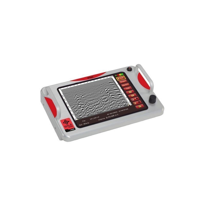
MALÅ Easy Locator Pro CONTROLLER
– Processor 1.6GHz Intel Atom
– Display 1024 x 768
– OS Linux
– Memory 8GB compact Flash memory
– Data output resolution 32bit
– Comms Ethernet, USB3.0, RS232 (serial)
– GPS Integrated support for built-in GPS, or external GPS via USB/serial port (NMEA 0183 protocol)
– Power supply Any external 10-15V DC source
– Charger Internal. Unit can also be charged from any external 12 – 15V DC source.
– Power consumption 1.3 – 2.0 A
– Operating time 8 – 14 h (depending on number of external batteries)
– Dimensions 430 x 360 x 180, including handles
– Weight 2.5 kg
– Operating temp -20° to +50°C or 0° to 120°F
– Environmental IP65
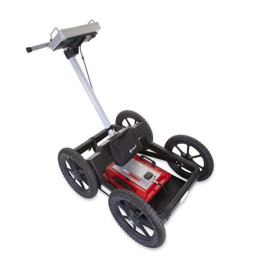
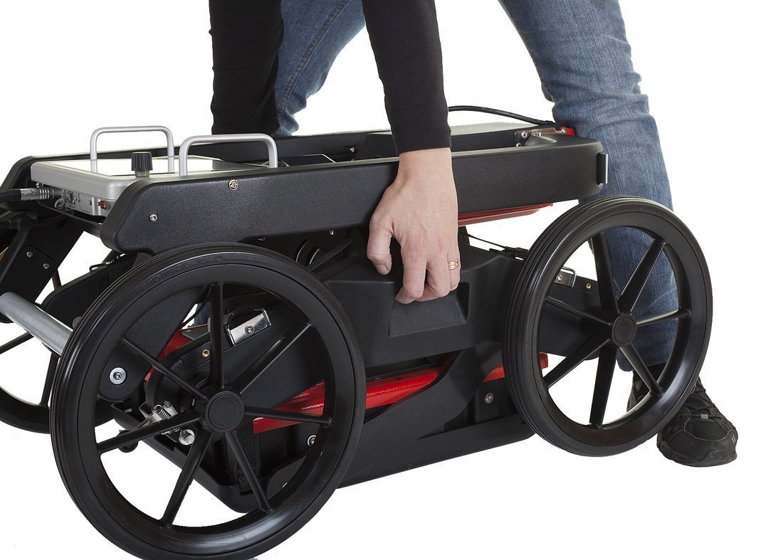
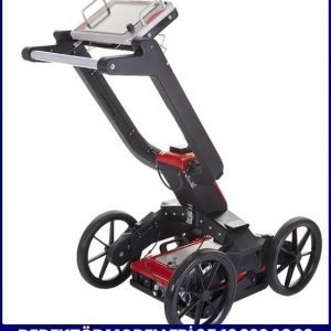
MALÅ Rough Terrain Cart (RTC)
– Length 1.17 m including handle, 0.94 m without
– Height 1.11 m including handle, 0.41 m without
– Width 0.71 m
– Weight 25 kg
ACCESSORIES:
– MALÅ Easy-Locator Pro HDR 450 MHz
– MALÅ Easy-Locator Pro CONTROLLER
– MALÅ Rough Terrain Cart (RTC)
– Software
Optional:
– MALÅ GX Controller
– The MALÅ GX antennas ranging from 80 – 750 MHz,
Not: Yukarıdaki bilgi ve açıklamalar üretici firma verileridir.


Değerlendirmeler
Henüz değerlendirme yapılmadı.